Whilst creative design concepts and technically sound architectural and engineering design and implementation are MDEC’s passion, we also recognize that control of project costs to meet client budget constraints and expectations is essential to successful project delivery.
Surveying Section
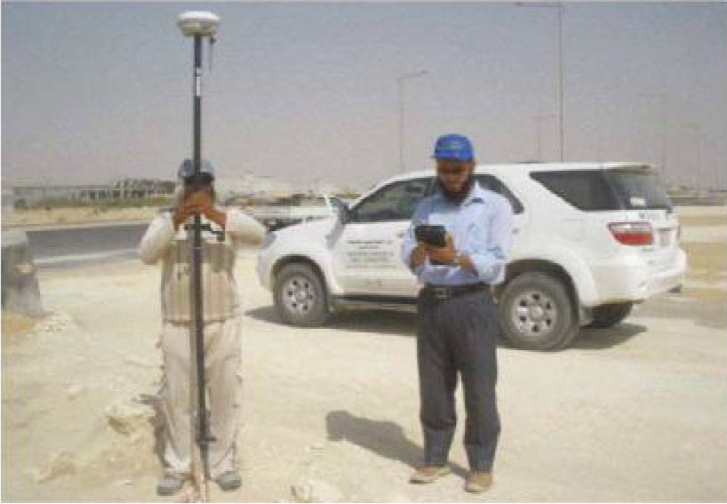
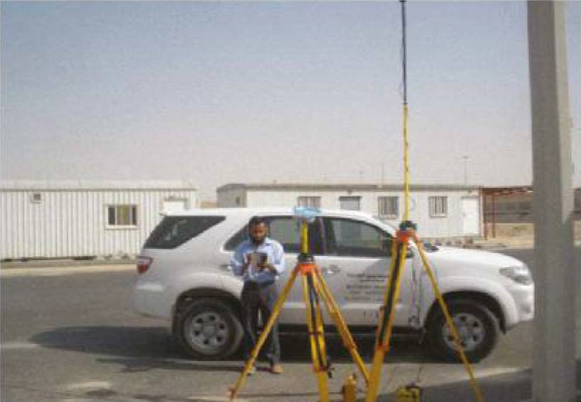
GPS(R8GNSS/R6/5800)
It is a device used for identifying the geographical points through Russian and US satellites and identifying the boundaries of plots through various longitudes and paranetric system such as WGS84&AIN EL ABD&NGN and others which may vary according to the place and scope of work, it could be used for taking measurements of land in high accuracy up to 5mm with no parametric or levels and such data shall be used for making networks and contour , synthetics and designs and possibility to upload the drawings on Google earth system.
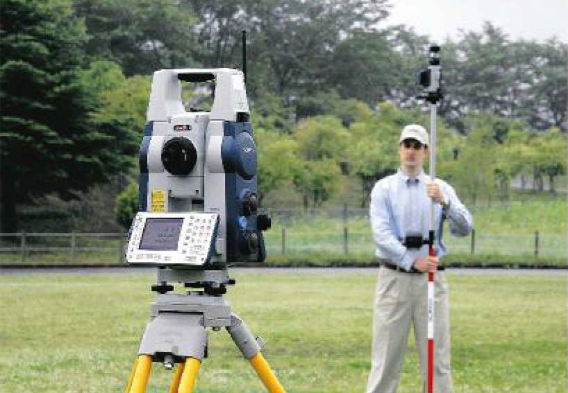
SOKK'A TOTAL STATION
- This device used for takirg measurements of natural lands through level and parametric
- Taking various longitudes and parametric with accuracy up to 5mm
- Identify the top of buildings . poles and others
- Files containing taken points could be uploaded to the computer as texts or through AutoCod DXF extension and make output through flash.
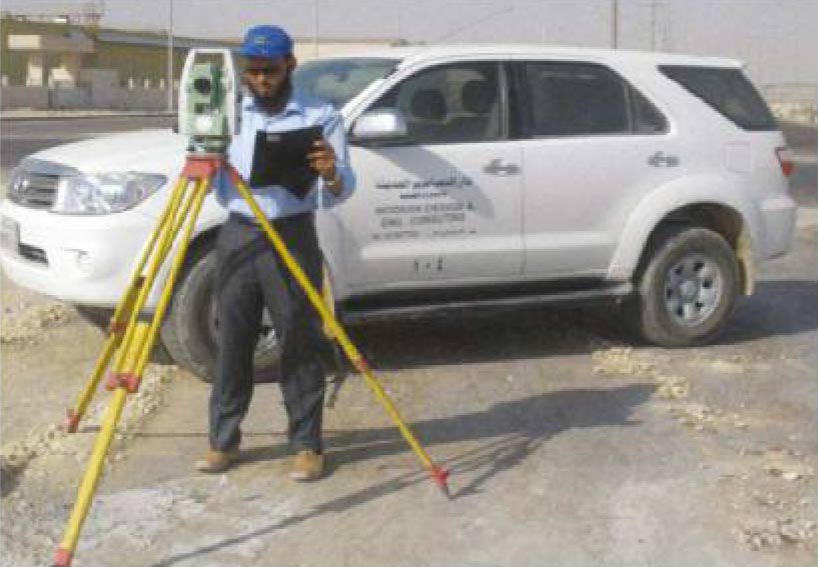
LEICA TOTAL STATION
- Used for taking measurements of natural lands through
level and parametric - Tddng various Imgtudes and parametric with acctracy up to 5mm
- identify the top of buildings, poles and others
- Files containing taken points could be uploaded to the computer as texts or through DXF extension. For the field work we are Using GPS after saving the drawing on DXF Extension and transfer the same to the Controller. Make activation in taking points and longitude and identify the work frame methods such as stations levels, identify ing roads curves through what is called site calibration by using GPS system. in addition such files could be upload ed and processed through AutoCad . excel and other software and extensions.
- General Topographic And Geodetic Survey
- Fixing the limits of land calculation factories and master plans
- Quantities. Autocad Civil BC! + Earth work
- Provide Surveying Teams
- Land Division
- Supervision on Survey Works
- Roads and Storm water Designs
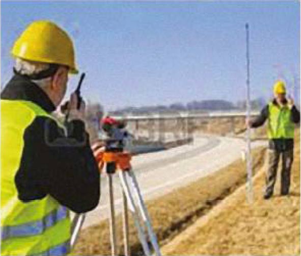
1. Level Machine
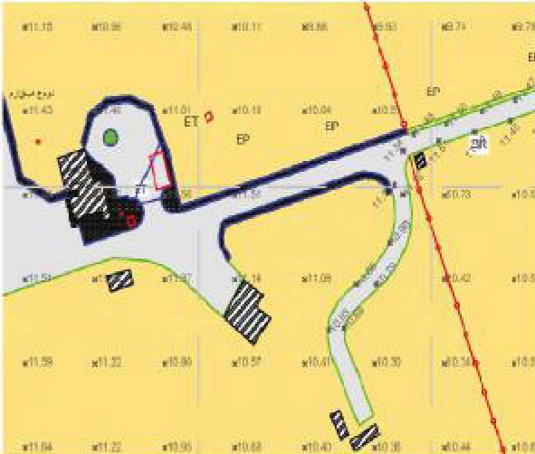
2. Ground Levels
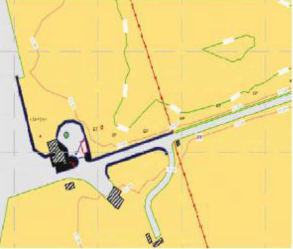
3. Contour Map
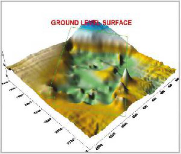
4. Surface
5. Benchmark Points
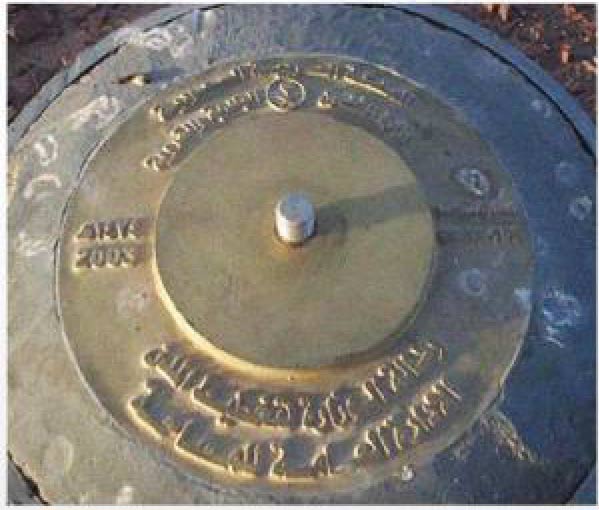
6. Benchmark Points
SURVEY PROJECTS
- Surveying works Design and Supervision for development of the Second Industrial City project in Dammam Phase 3,5 and 6
- Surveying works for Alothaim Mall – Dammam – King Fahd Road – Belong’ng to the Municipality of Dammam.
- Surveying works for Ikea Company – Dammam – King Fahd Road – Belonging to the Municipality of Dommam
- Surveying works for Saudi Cement Factory – Al Hofuf.
- Surveying works for Future Ceramic Factory – Second industrial Area – Dammam
- Surveying works for Al Musheer Factory – Third Industrial Area – Dammam
- Surveying works for Four bridges belonging to the Saudi Railway – Dammam.
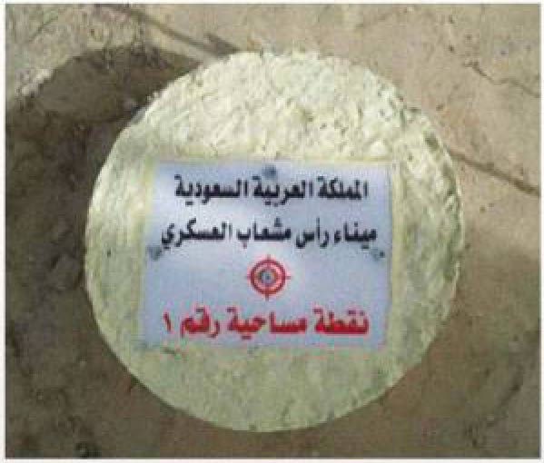
- Surveying works for port of Ras Mishoab – Al khafji.
- Supervision of the Ministry of Commerce and Industry building in Buraidah. Jeddah.
- Development of buildings area in port of Ras Mishaab (Roads – Storm water – quantities account).
- Supervision of the construction Nairiyah University.

